
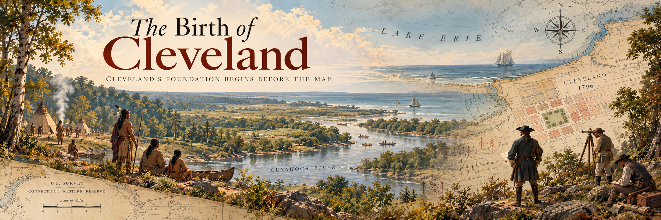
Cleveland’s foundation begins before the map.
Before Cleveland became Cleveland, the land around the Cuyahoga River and Lake Erie already carried deep Indigenous history. Native nations and communities connected to the broader region included the Erie, Haudenosaunee, Seneca, Cayuga, Ottawa, Lenape, Shawnee, Wyandot, Miami, Potawatomi, and others whose movement, trade, settlement, and resistance shaped the Ohio country long before the city was surveyed.
That matters because Cleveland’s beginning was not just a simple story of purchase, survey, and settlement. It was also a story of competing claims to land, treaty boundaries, and Indigenous people whose connection to the region did not disappear because a company claimed ownership on paper.
In 1796, Moses Cleaveland entered the story as the leader of the Connecticut Land Company’s survey party. He helped select the mouth of the Cuyahoga River as the site for a planned town, a location shaped by access to both the river and Lake Erie. The town was laid out with a public square at its center, following the influence of New England town planning.
But Cleveland did not rise overnight. After the survey, it took years for the settlement to truly take shape. What became Cleveland began with land that already had history, people, and meaning, then grew through survey lines, settlement plans, industry, movement, and the people who continued shaping the city from that point forward.
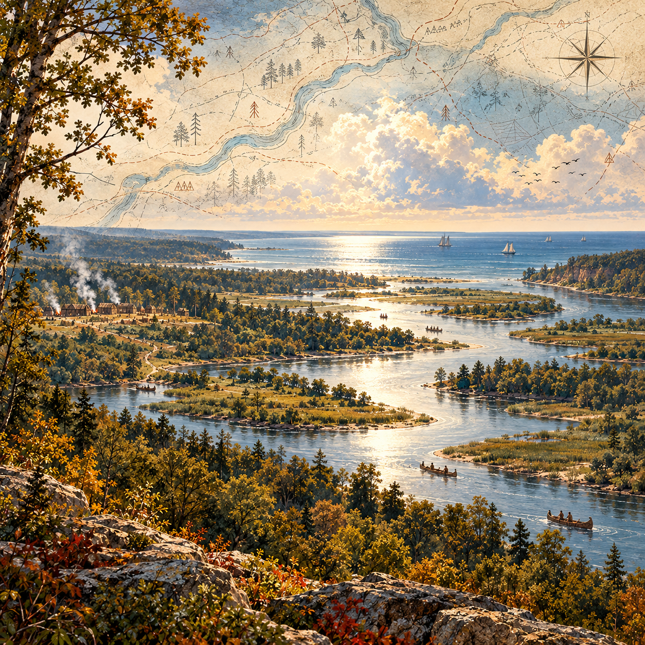
Cleveland Before Survey
The land at the mouth of the Cuyahoga River already carried history, meaning, and movement long before the city was planned.
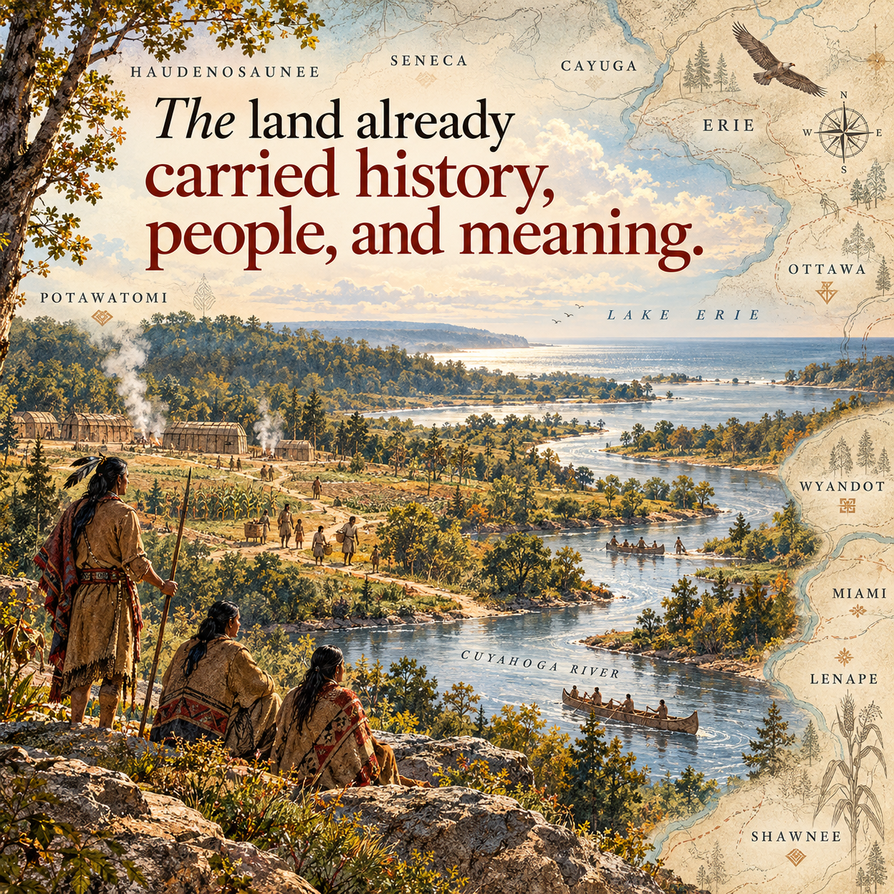
The Land Had History
Indigenous nations and communities shaped the region through trade, settlement, travel, and resistance before Cleveland ever appeared on a map.
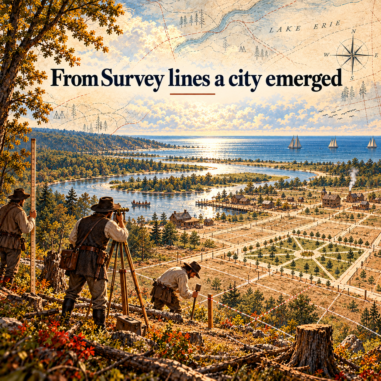
Moses Cleaveland Survey
In 1796, the survey party selected the site and laid the early framework for what would slowly become Cleveland.
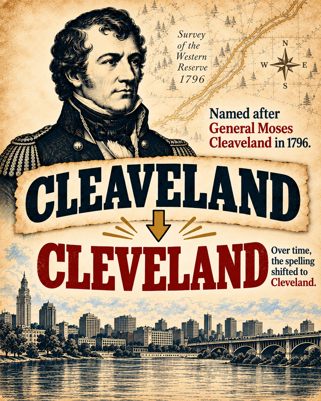
Cleaveland to Cleveland
Before Cleveland became Cleveland, it was Cleaveland. The city was named after Moses Cleaveland, who led the Connecticut Land Company survey party into the region in 1796. Over time, the shorter spelling became the version people used most, and Cleveland became the name that stuck.